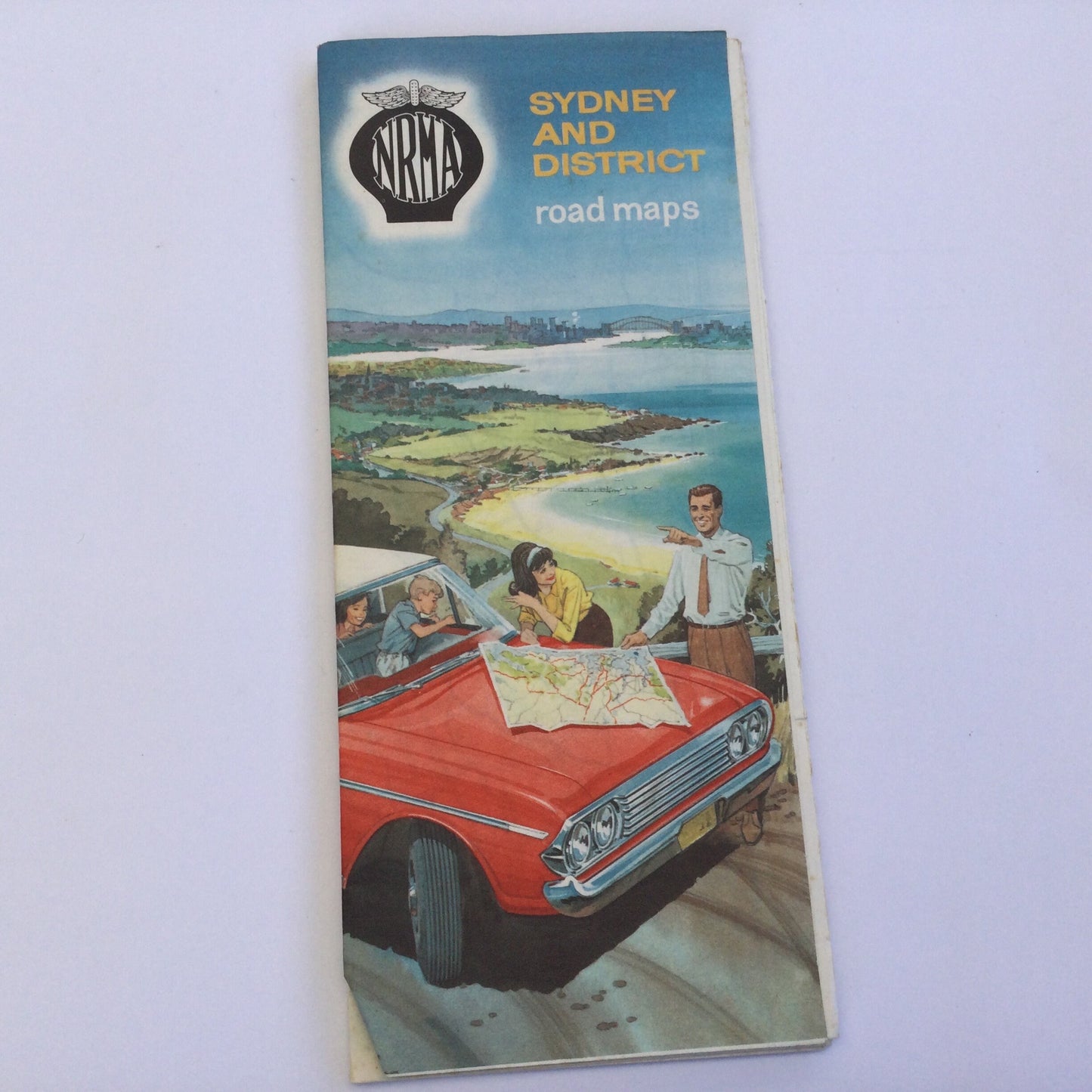
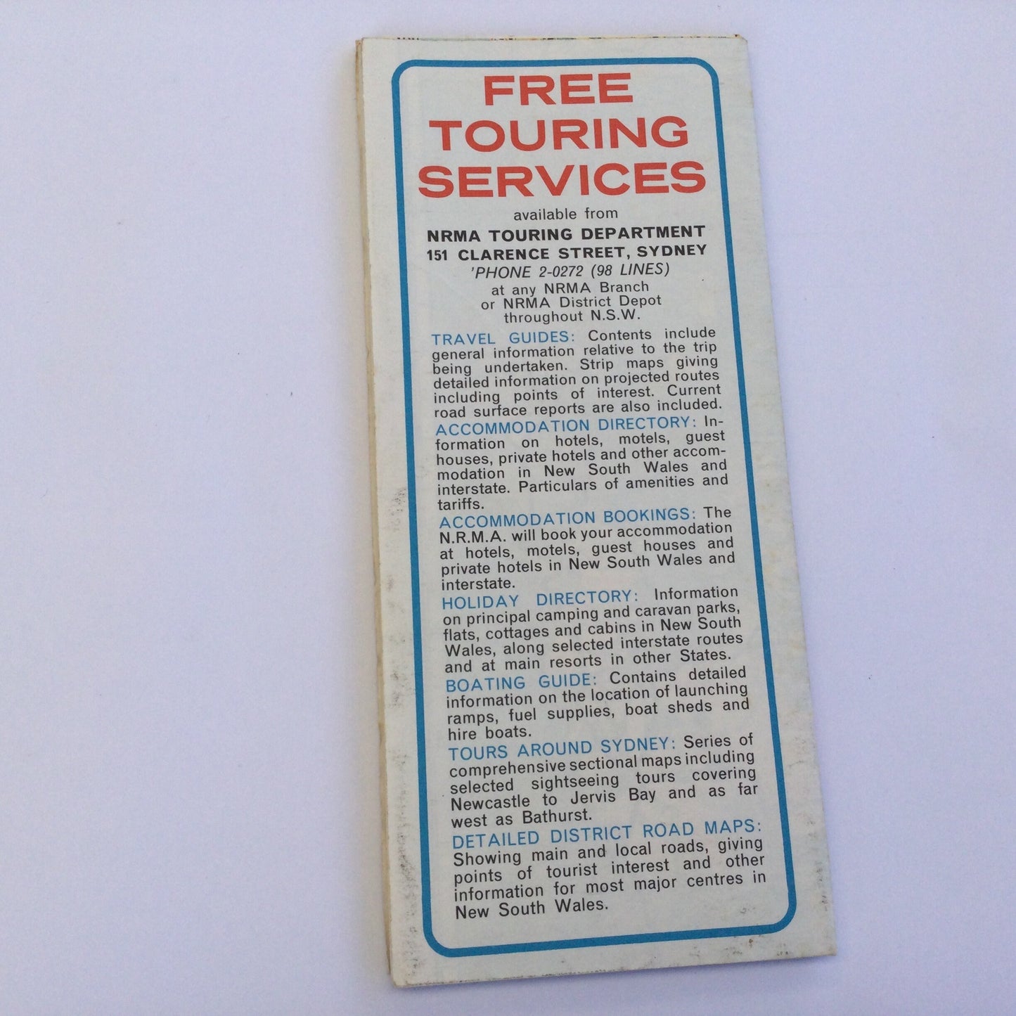
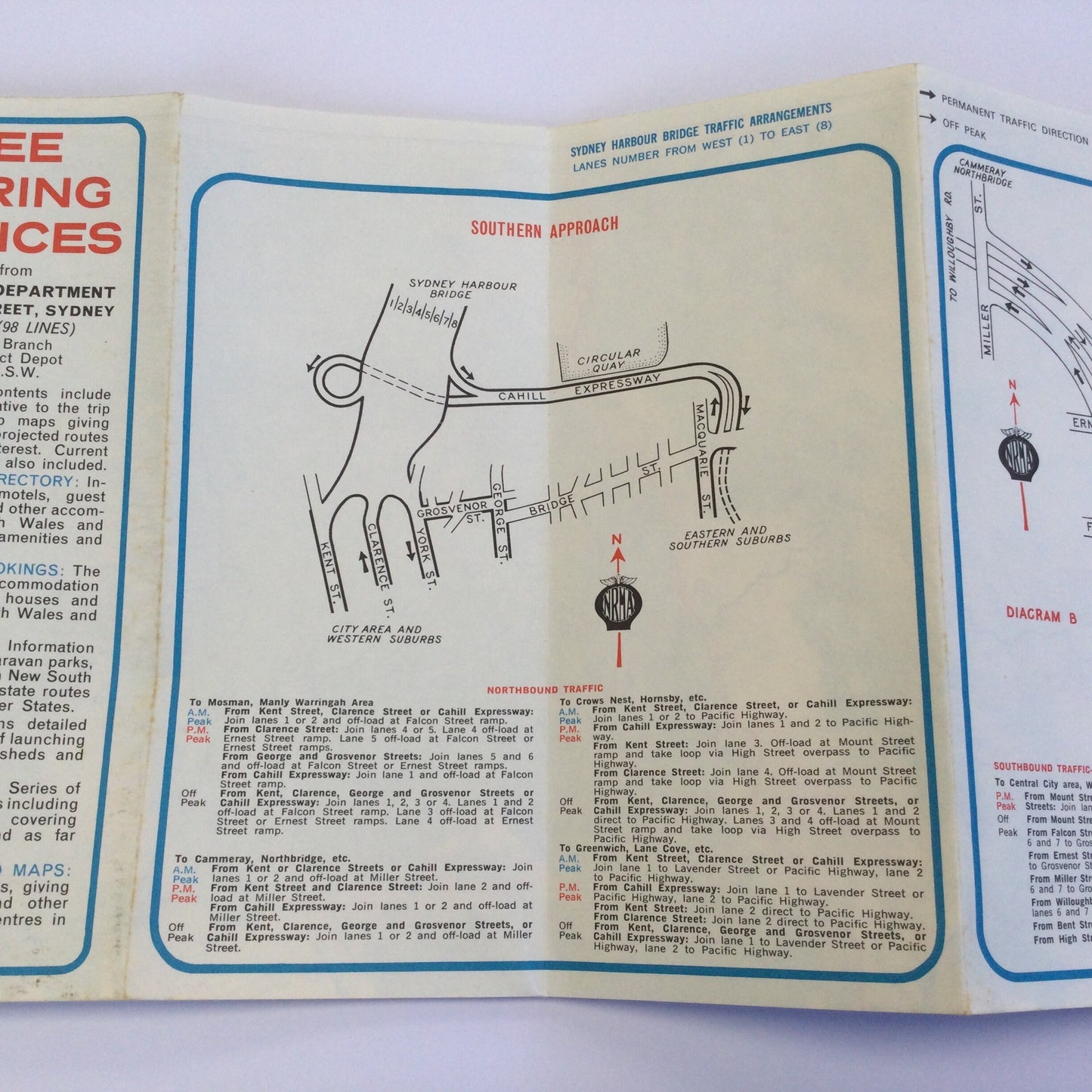
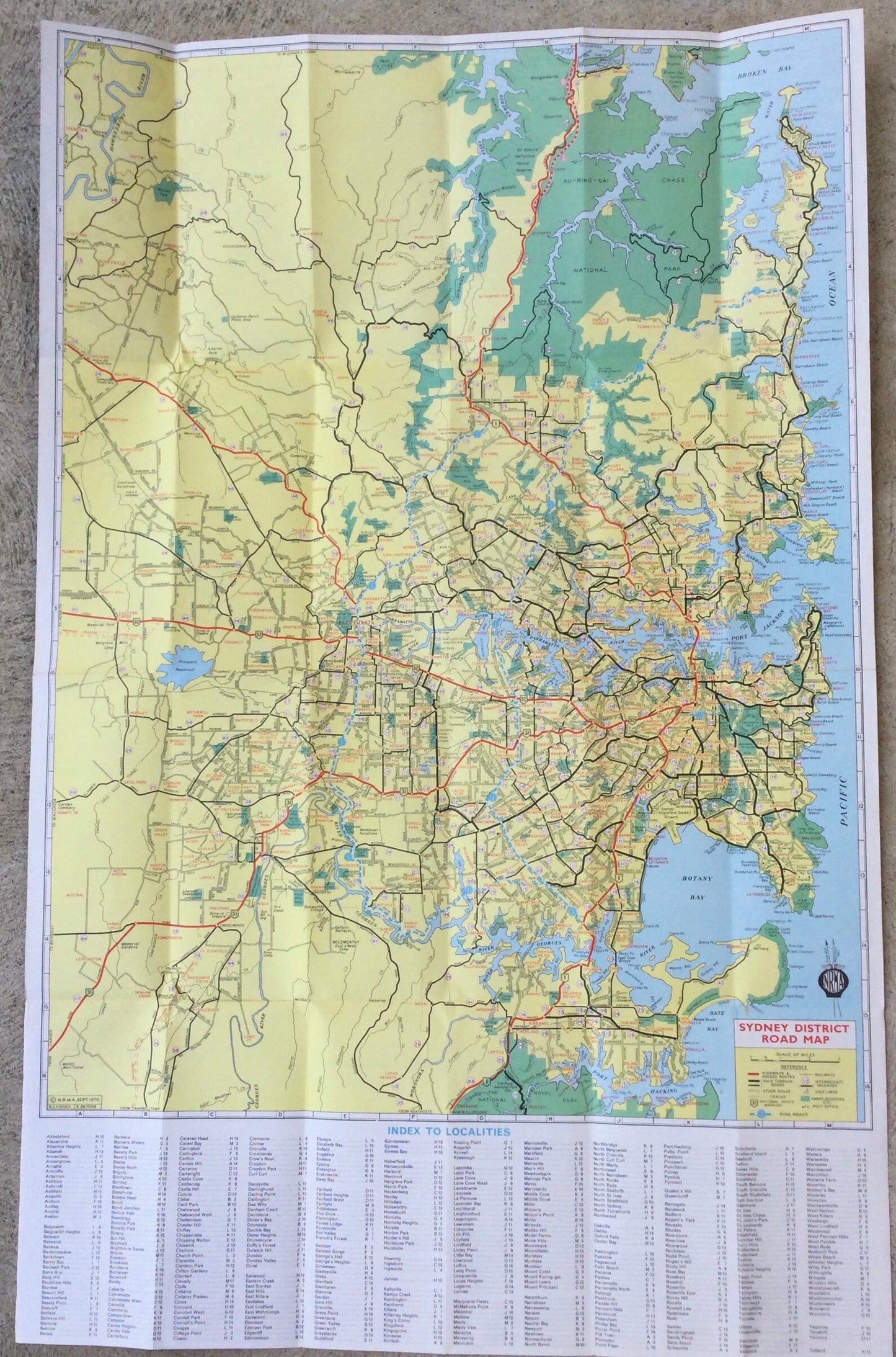
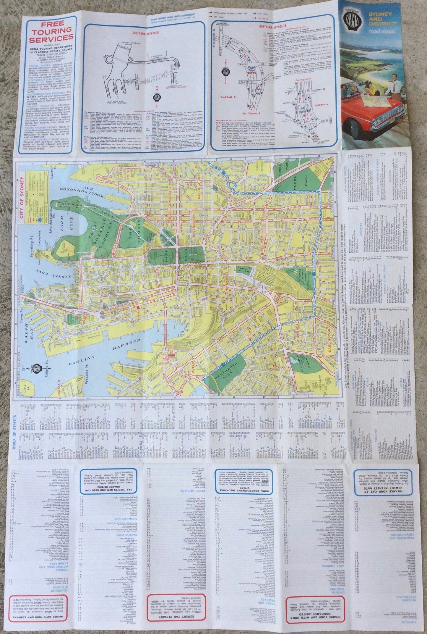
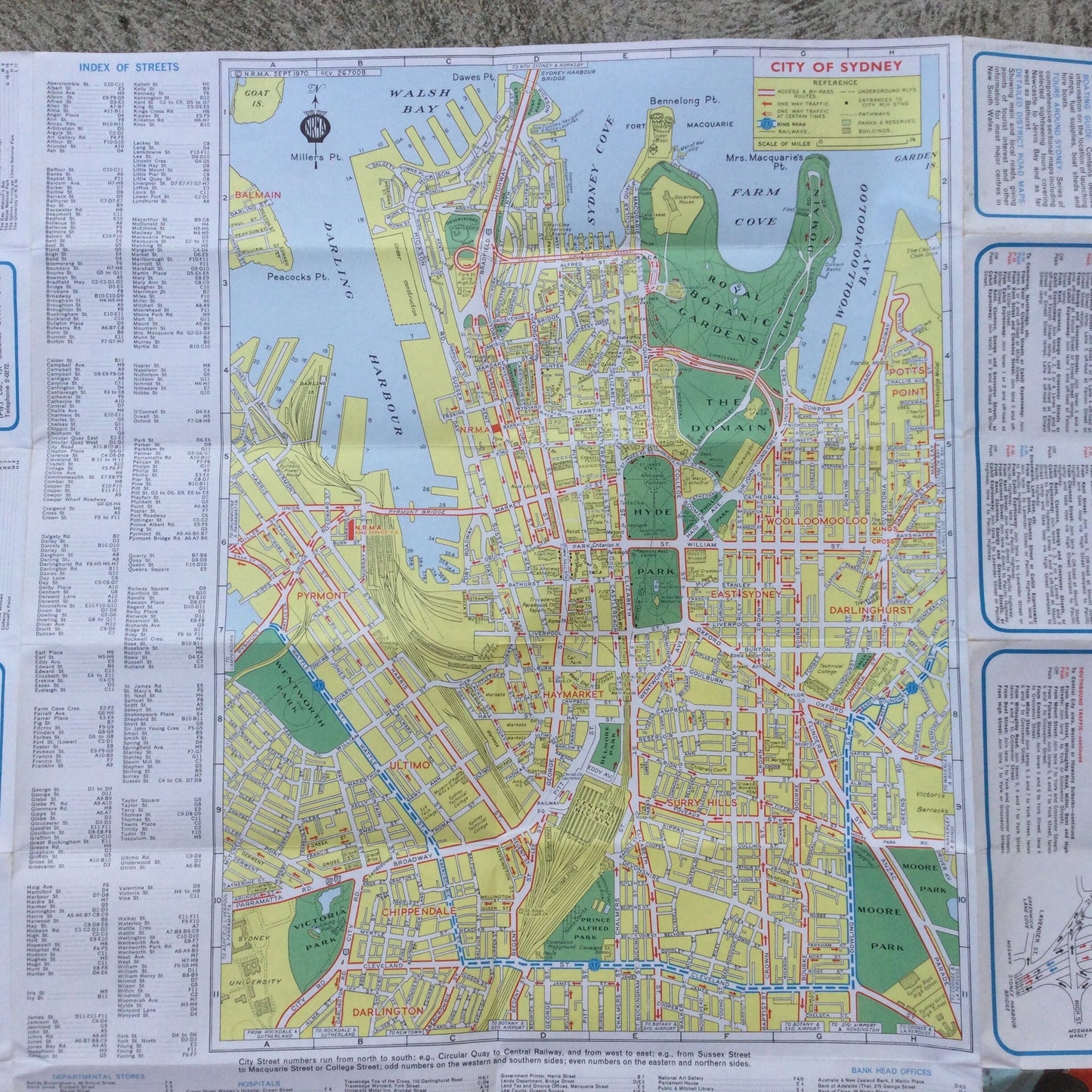
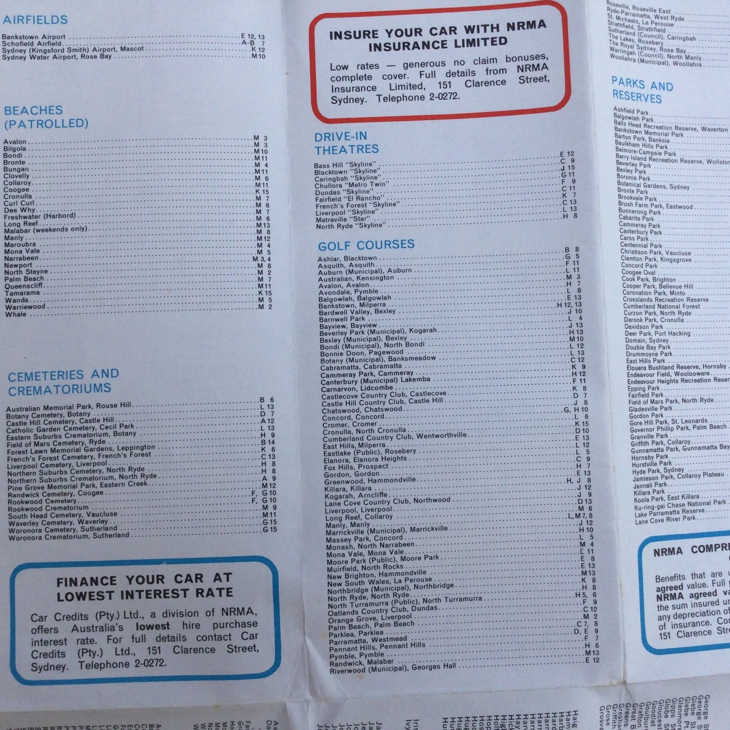
Fold out map of Sydney and district from the 1970, from Broken Bay to Port Hacking and out to Rooty Hill. Includes main streets and suburbs, close up of CBD, index to beaches, parks and reserves, racecources, showgrounds, television stations (4 of them!) tourist attractions and landmarks. Wonderful mid century graphics.
How great it is to have a real fold out map of a place, somewhere you once lived, as a memory of a visit or dream of exploring in the future.
This is an original vintage piece of paper, not a pdf or download.
Map measures 57 cm x 87 cm. Not too many creases, this map was kept well folded.